Geospatial Applications Across Industries
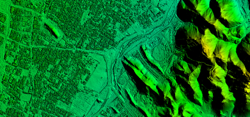
Modern infrastructure and environmental projects require precise geospatial data to support informed decision-making. Our high-accuracy Digital Terrain Models (DTM), Digital Surface Models (DSM), orthophoto imagery, contour maps, and 3D building models enable organizations to analyze terrain, plan infrastructure, monitor environments, and manage large-scale development projects with confidence.
From urban development and transportation planning to hydrological analysis and environmental monitoring, our geospatial products provide the reliable spatial intelligence needed to support complex projects across diverse landscapes.
Industries Powered by Advanced Geospatial Mapping
Urban Planning & Smart Cities
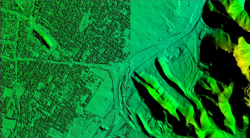
Accurate 3D building models, orthophotos, and terrain data support urban planners in analyzing city growth, managing infrastructure development, and visualizing urban landscapes for smarter city planning.
Infrastructure & Engineering
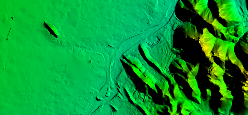
High-resolution DTM, DSM, and contour datasets help engineers design roads, railways, utilities, and large-scale infrastructure projects with precise terrain analysis.
Hydrology & Water Resource Management
Our Digital Terrain Models and hydrological terrain datasets enable watershed analysis, drainage modeling, and flood risk assessment for effective water resource management.
Environmental Monitoring
Orthophoto imagery and terrain models allow organizations to monitor environmental changes, track land use patterns, and support sustainable land management strategies.
Mining & Resource Management
High-accuracy terrain models and orthophotos assist mining operations in site planning, terrain monitoring, and resource exploration across complex landscapes.
Transportation & Corridor Planning
Geospatial datasets such as DTM, DSM, and contour maps support route planning and terrain evaluation for highways, rail networks, and transportation infrastructure projects.
Key Applications of Terrain and 3D Mapping Solutions
Urban Development and City Modeling
Modern cities require accurate spatial data for planning and infrastructure development. Our 3D building models, orthophotos, and Digital Surface Models (DSM) enable planners to visualize urban landscapes, assess building heights, and analyze spatial relationships across city environments. These datasets help support efficient urban expansion, infrastructure design, and smart city initiatives.
Infrastructure and Engineering Planning
Infrastructure projects depend heavily on precise terrain information. Our Digital Terrain Models (DTM), contour datasets, and orthophotos provide engineers with accurate elevation and terrain insights for road design, corridor planning, and large-scale infrastructure projects. These geospatial datasets enable better design decisions and reduce project risks.
Hydrological and Environmental Analysis
Understanding water flow and terrain behavior is critical for flood prevention and watershed management. Our DTM datasets for hydrological studies allow experts to model drainage networks, analyze watersheds, and simulate water flow across terrain surfaces, helping organizations develop effective flood mitigation and water management strategies.
Start Your Next Geospatial Project with Confidence
Partner with our geospatial experts to generate high-accuracy DTM, DSM, orthophotos, contour maps, and 3D building models tailored to your project requirements. Whether you are planning infrastructure, analyzing terrain, or managing environmental resources, our mapping solutions deliver the precision and reliability your projects demand.