DTM for Hydrological Studies
A Digital Terrain Model (DTM) plays a critical role in hydrological analysis by representing the bare-earth terrain surface with high accuracy. DTM for hydrological studies enables precise modelling of water flow, watershed boundaries, and drainage networks. These hydrological terrain models support applications such as flood modelling, river basin analysis, watershed management, and environmental planning.
Digital Terrain Models for Hydrological Analysis
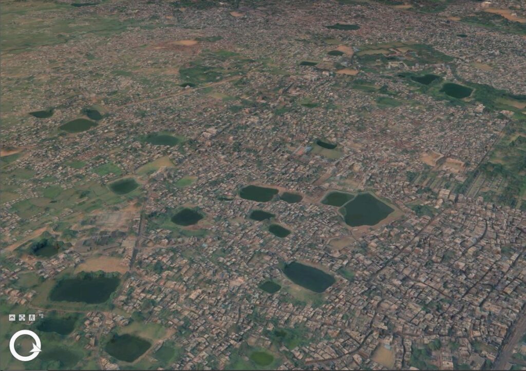
Hydrological studies require accurate terrain data to understand how water moves across landscapes. A Digital Terrain Model (DTM) provides the essential foundation for hydrological modelling by representing the natural ground surface without buildings or vegetation.
Using high-resolution DTM datasets, hydrologists and geospatial analysts can identify drainage patterns, delineate watersheds, and simulate water flow across terrain. These hydrological terrain models enable the generation of flow direction, flow accumulation, slope, and catchment area datasets that are fundamental to water resource management.
DTM for flood modelling is widely used by governments, environmental agencies, and infrastructure planners to assess flood risks and design mitigation strategies. By combining digital terrain models with hydrological modelling tools, organizations can perform accurate watershed analysis, drainage network extraction, and river basin modelling, supporting better decision-making in water management and environmental planning.
Applications of DTM in Hydrological Studies
Flood Risk Modelling
High-resolution DTM for flood modelling enables analysts to simulate water flow across terrain and identify flood-prone regions.
Watershed Delineation
A watershed terrain model helps identify drainage basins and catchment boundaries for effective water resource planning.
Drainage Network Extraction
Using a drainage analysis terrain model, hydrologists can map natural drainage channels and understand water movement across landscapes.
River Basin Analysis
DTMs support large-scale river basin modelling, helping researchers study hydrological patterns and water distribution.
Environmental and Ecosystem Monitoring
Accurate digital terrain models help monitor wetlands, water bodies, and ecological systems affected by terrain and water flow.
Stormwater and Urban Drainage Planning
Urban planners use hydrological terrain models to design efficient drainage systems and manage stormwater in cities.
Key Benefits of Using DTM for Hydrology
Accurate Representation of Terrain
A digital terrain model provides precise elevation data required for reliable hydrological analysis.
Improved Flood Prediction
High-resolution DTM for flood modelling helps identify vulnerable regions and supports flood mitigation planning.
Better Watershed Management
Hydrological terrain models help planners understand watershed dynamics and manage water resources effectively.
Advanced GIS-Based Hydrological Analysis
DTMs integrate seamlessly with GIS hydrological modelling tools, enabling detailed spatial analysis.
Support for Environmental Planning
Hydrological terrain modelling supports sustainable land management and ecosystem conservation.