Orthophoto Mapping
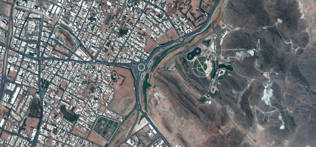
An orthophoto is a geometrically corrected aerial or satellite image that represents the Earth’s surface with uniform scale. Unlike standard imagery, orthorectified imagery removes distortions caused by terrain and sensor perspective, allowing accurate measurements and mapping. Our orthophoto mapping solutions provide high-resolution imagery for urban planning, infrastructure development, and GIS analysis.
What is an Orthophoto?
An orthophoto is a corrected aerial or satellite image that has been processed to remove geometric distortions caused by terrain elevation, camera tilt, and sensor perspective. Through a process known as orthorectification, imagery is aligned with a consistent map projection, allowing it to function as an accurate geographic dataset.
Unlike raw aerial imagery, an orthophoto map maintains true scale across the entire image, enabling users to measure distances, areas, and geographic features with precision. This makes orthophoto mapping an essential component in GIS workflows, infrastructure planning, and land management projects.
Orthophotos are commonly generated using satellite imagery, aerial surveys, and photogrammetry techniques, often combined with Digital Terrain Models (DTM) to correct elevation-related distortions. The resulting orthorectified imagery provides reliable visual context for geospatial analysis and large-scale mapping applications.
Key Capabilities of Our Orthophoto Data
High-Resolution Orthorectified Imagery
Our orthophoto datasets provide high spatial resolution imagery that accurately represents terrain, infrastructure, and land features.
Accurate Mapping and Measurement
Because orthophotos maintain uniform scale, they enable precise distance, area, and spatial measurements in GIS and mapping applications.
Seamless GIS Integration
Our orthophoto mapping data integrates easily with major GIS platforms, supporting advanced geospatial analysis and visualization workflows.
Reliable Base Map for Geospatial Projects
Orthophotos serve as a high-quality visual base map for mapping projects, urban planning, infrastructure monitoring, and environmental analysis.
Applications of Orthophoto Mapping
Urban Planning and Land Use Analysis
Orthophoto maps help planners visualize existing infrastructure, land use patterns, and urban development areas, supporting informed planning decisions.
Infrastructure Development and Monitoring
Engineers and project managers use orthophoto imagery to analyze project sites, monitor infrastructure development, and track construction progress.
Environmental Monitoring and Resource Management
Orthophotos provide detailed imagery that helps environmental organizations monitor forests, water bodies, agricultural land, and ecosystem changes.
Mapping and GIS Analysis
Geospatial professionals rely on orthophoto mapping as a reliable base layer for spatial analysis, feature extraction, and geographic data visualization.
Disaster Assessment and Emergency Response
During disasters such as floods, earthquakes, or storms, orthophoto imagery enables rapid damage assessment and supports emergency response planning.