


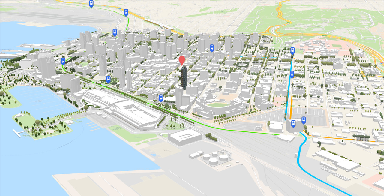
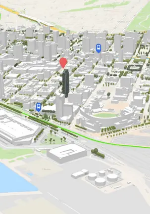
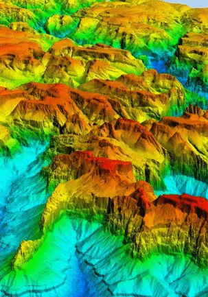
3D LANDSCAPE | UNPRECEDENTED ACCURACY
The 3D landscape is SATPALDA’s next-generation global 3D terrain dataset which provides seamless data up-to sub-meter post spacing enabling precise topographic analysis. This is a comprehensive worldwide offering that is available as a Digital Surface Model (DSM), Digital Terrain Model (DTM), and 3D building model.

SATPALDA
AboutSATPALDA is a leading provider of satellite imagery and Geospatial services to the user community. Established in 2002, SATPALDA has successfully completed a wide range of photogrammetric and Remote Sensing Projects.
Our cost-effective solutions cater to the broad spectrum of Government and Private Users. The USP of SATPALDA’s services is the unique blend of experience and cost-effectiveness.
Our latest articles daily update
Blog
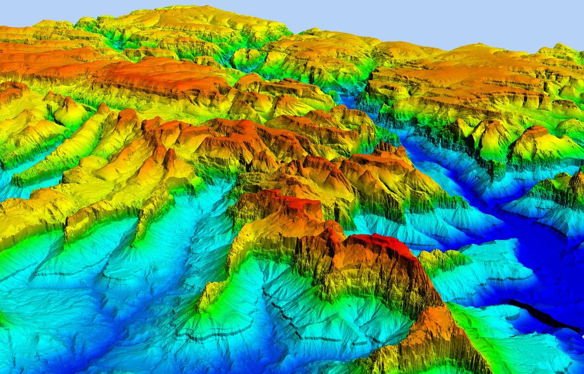
WHAT IS A DIGITAL ELEVATION MODEL (DEM)? EVERYTHING YOU NEED TO KNOW ABOUT.
A Digital Elevation Model (DEM) is a representation of the bare ground topographic surface of the Earth?excluding trees, buildings, and other surface objects.?It is a 3D computer graphics representation of elevated data to represent terrain.
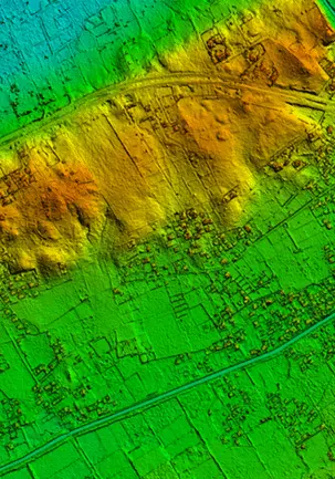
TECHNIQUES TO GENERATE DIGITAL ELEVATION MODEL (DEM)
A digital elevation model is a bare-earth raster grid referenced to a vertical datum. The DEM can even be obtained from stereo digital aerial imagery at various resolutions, depending on the quality and scale of the imagery.
WHAT IS A DIGITAL ELEVATION MODEL (DEM)? EVERYTHING YOU NEED TO KNOW ABOUT.
A Digital Elevation Model (DEM) is a representation of the bare ground topographic surface of the Earth. excluding trees, buildings, and other surface objects. It is a 3D computer graphics representation of elevated data to represent terrain.