

3D Buildings
3D Buildings
New developments in urban planning, urban landscape, real estate management, and so on, call for new demands for the 3D Object Model. The building models are the most important in the 3D object model. With the development of 3D data acquisition, the visualization aspect often is detail considered.
Sometimes, there is no suitable 3D data or the auto-reconstruct process is not perfect to depict sufficient details, for instance, the balcony and a small tower in buildings can not be auto-reconstructed. The operator has to do this by himself. The 3D data can be used to create two basic categories of objects:
(1) point, line, and surface objects coinciding with a ground surface such as streets, roads, etc.
(2) volume objects that stick out the ground (buildings, towers, and so on ).
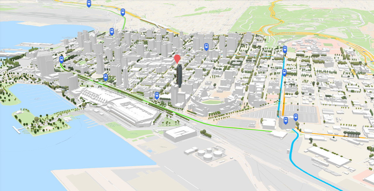
SATPALDA’s 3D building models can have these two categories. These models are derived photogrammetrically from high-resolution satellite and aerial imagery designed to support developers, architects, networks, and urban planners. It’s about giving shape, height, and elevation of the buildings based on the latest remote sensing imagery.
Height:
- Mean Sea Level (MSL)
- Above Ground Level (AGL)
Accuracy:
- Absolute: 1m (LE90)
Delivery Formats:
- ESRI shapefile
- Mapinfo Tab
- Microstation DGN
Output:
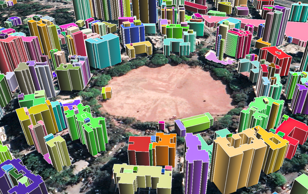
Applications:
- These datasets are used for many simulations such as telecommunication, asset planning, analysis of the view
- Giving 3D tours in the real estate sector
- One can have a site layout
- Used in telecommunication projects
- Used in aviation where the height of buildings inside and near the airport is required
- Used in gaming and various simulators
- Used to measure the volume, and surface area of objects
- Incorporate new buildings into the existing urban model
- Edit the properties as per the modification
- Aesthetic assessment of an existing neighborhoods
#3DBuilding #3dmodel #gis #3Ddata #Photogrammetry
Documents

3D Landscape
Brochure