

Blogs
Blog
What is a Digital Elevation Model (DEM)? Everything you need to know about.
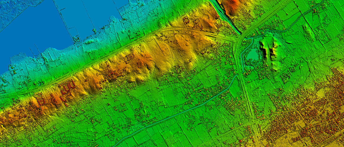
SatpaldaA Digital Elevation Model (DEM) is a representation of the bare ground topographic surface of the Earth?excluding trees, buildings, and other surface objects.? It is a 3D computer graphics representation of elevated data to represent terrain.
More about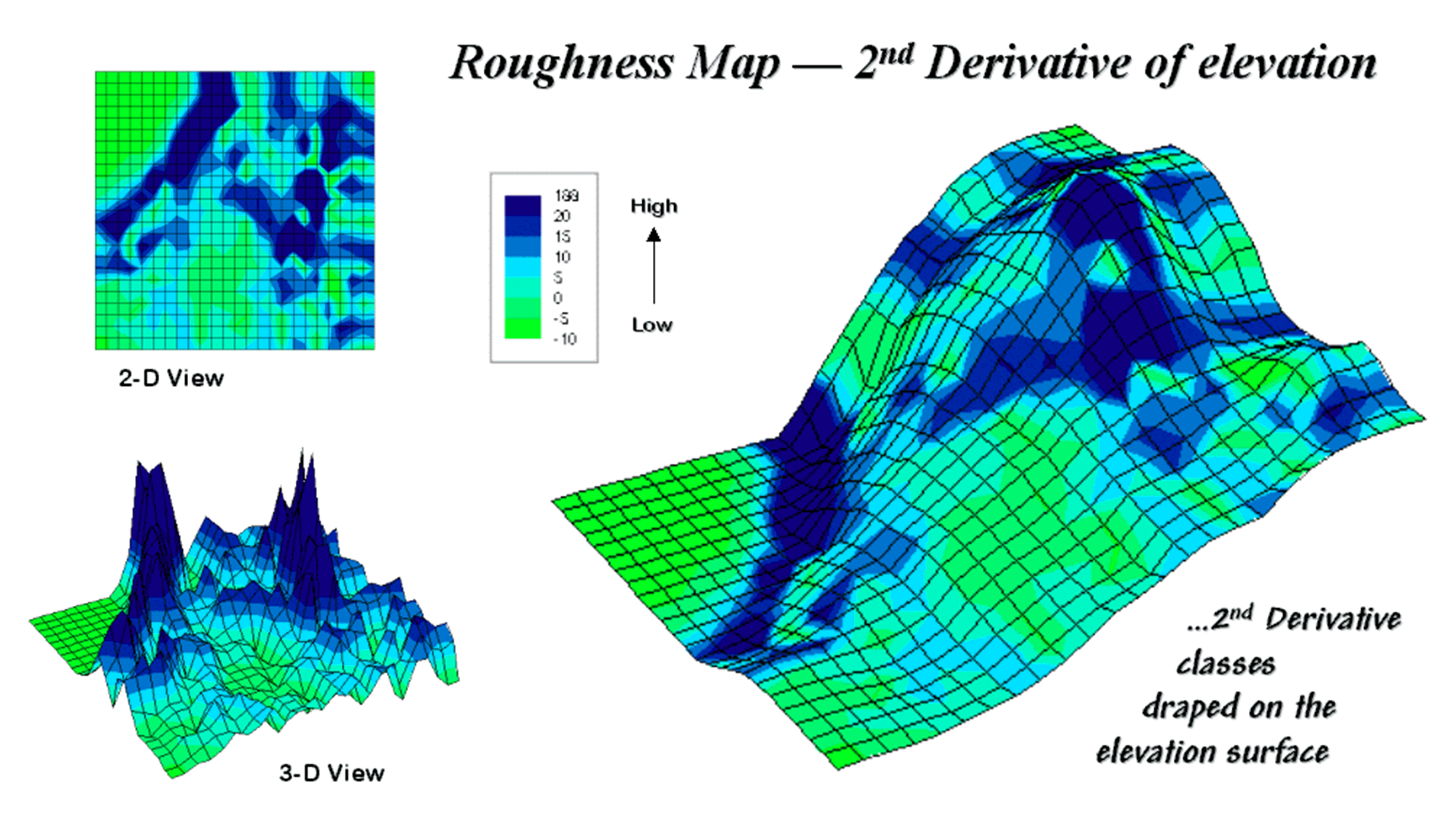
Blog
Techniques to Generate Digital Elevation Model (DEM)
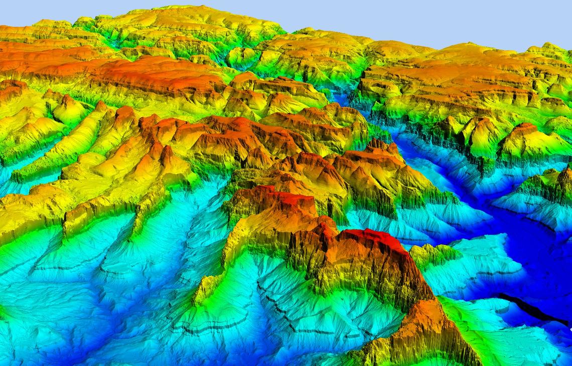
SatpaldaA digital elevation model is a bare-earth raster grid referenced to a vertical datum. The DEM can even be obtained from stereo digital aerial imagery at various resolutions, depending on the quality and scale of the imagery.
More about